The History File
DECEMBER 2017
David Cummings
Common Lands in Christleton
Part 2
After enclosure, a considerable amount of effort must have been necessary to turn the wastelands into good agricultural land. The enclosures coincided with a renewed interest in spreading marl (a fine-grained sedimentary rock used as a fertiliser) over fields, and at least eight large new pits were dug in the centre of the newly enclosed fields. The tithe map of 1854 shows 44 other ponds in the enclosed area, which all probably had resulted from marl digging. Teams of marlers would descend on the village for weeks on end, bringing their nomadic life culture to the village, especially in the pubs which benefited greatly from their trade. They brought their songs and dances with them and generally spiced up village life during their short stay.
As the cost of moving marl would have been prohibitive, most pits were dug in, or very near to, the fields that needed improving. The greatest density of pits shown on the tithe map is on what is now Manor Farm, south of the A41. The total number for the Parish is uncertain, but it’s likely that there were over 400 in the Christleton Parish alone. The effect of marling lasted about twelve years, and although many of the pits survived as water sources for cattle, others were filled in with rubbish, and re covered in soil. An early map of Brown Heath Farm shows three pits that had been filled in sometime before 1854.
In addition to the creation of farmland, there were many smaller encroachments into the commons to meet the needs of working people, who would be permitted to build a cottage and enclose a garden, or small croft, in return for a small rent paid to the Lord of the Manor. Vegetables, such as beans, would probably have been grown in the garden and some poultry kept. The tenants of these cottages would graze small numbers of cattle or other animals on the common, but they didn’t have formal rights, and would have been unlikely to receive any compensation for the loss of grazing rights when the commons were enclosed. An example of this occurred in 1770 when the Town Clerk of Chester Mr Brock was unable to take possession of his property, until legal issues were settled. The properties offered for sale included 25 cottages and encroachers paying rent of 1s 5d a week. (At this time a ploughman was paid 1s 2d a day)
One problematic enclosure area was on Brick Heath, an area north of Birch Heath Common and presumably the site of small scale brick making. Another encroachment which had to be investigated in 1770 was on Little Heath, where in 1710, Gerard Townsend had seemingly enclosed part of the common without consent, which lead to an infamous court case in 1772 where the Townsend’s were accused of not paying a tax on their pond for fish since 1711. The Townsend’s also obtained another common, part of Brown Heath, and in 1733 the Lord of the Manor, Sir John Harper and 27 freeholders agreed that Robert Townsend could enclose six acres of Brown Heath for a rent of 5s per acre, as this land was poor quality, only being used by the adjacent cottagers to cut turf for their fires. In consideration for the agreement, Mt Townsend paid £37 10s for the land, the equivalent of 25years rent for the land, the money being used for the improvement of the highway between Christleton and Chester, which was at that time in very poor condition.
Alongside the wastelands and individually enclosed fields, were strips of land, a system probably introduced by the Saxons, which consisted of large fields (usually three in number) being divided into many narrow strips, each one looked after by the individual but all worked in a communal effort. The standard strip was in theory one furlong (220yards) long by 22yards wide, but in Christleton the strips are much narrower. The number of strips controlled by each individual varied and strips could be bought or exchanged, but in each field all the strips were planted with the same crop at the same time. An excellent example of the strip structure in Christleton can be seen on the illustration of Townfield with this article. Each area of ownership, irrespective of its number of strips in Christleton was called a loon, but I’ll deal in more detail with this in the January edition. What is also interesting is that the names on the Townfield chart are mainly of wealthy landowners, including the Lord of the Manor Sir Henry Harper, Chester businessman Gerard Townsend, churchwarden Peter Hodson and even the church, indicated by the strips named Glebe land.
To be continued.
-

Little Heath Pit Common Land
-

Heathland around Christleton township
-

Christleton Pit in Winter
-

Christleton Pit
-

Christleton Brick
-

Christleton Marl and Clay
-

Typical Marl Pit on Farmland
-

Marl Pit near a Farm
-

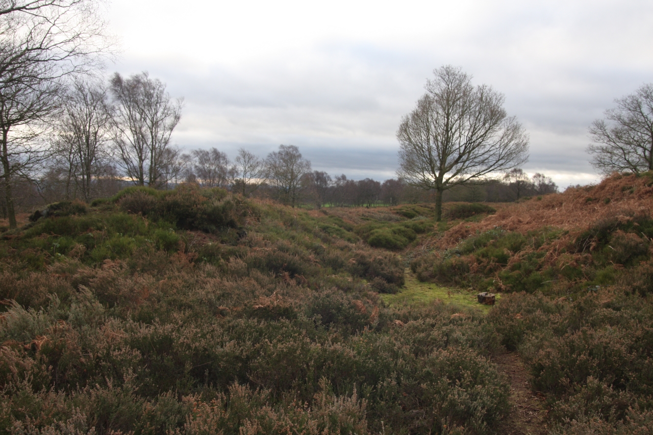
Typical Cheshire Heathland
-

Manor House, Christleton built of local brick
-

Christleton Hall, original home of The Lord of the Manor


