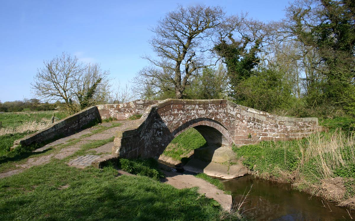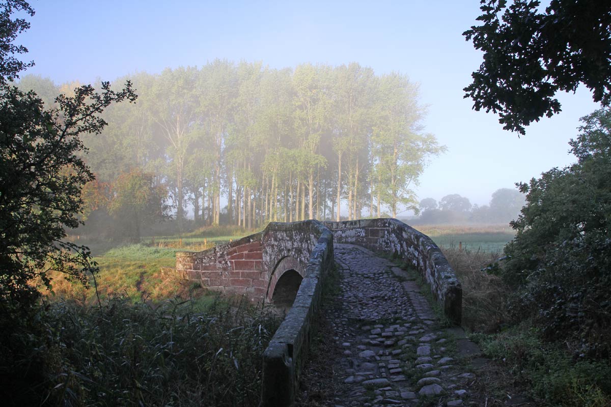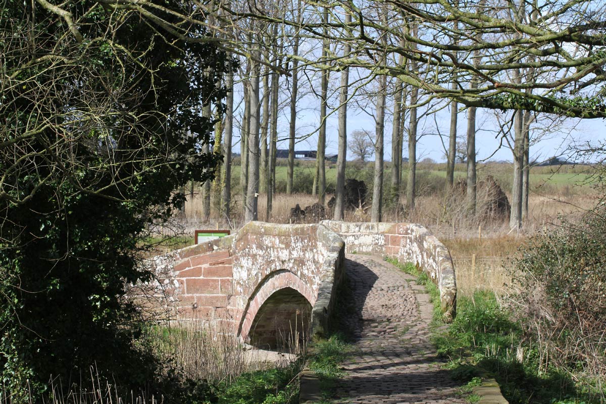
The bridges are known locally as " The Roman Bridges" and it is certain that there were bridges there at the time of the Roman occupation of Chester. However these were probably constructed from timber and were in use until the late 15th C. When work was being done to underpin the present stone structures in the 1940's some earlier timber post construction (probably roman) was exposed. The three stone bridges that can be seen today were constructed around about 1470 and are typical pack horse bridges with a single arch construction. They are connected by a causeway or an embankment of over 250 metres built of earth, clay and topped with sets or cobbles. This enabled travellers along the old highway from Chester to London to cross the marshland surrounding the various courses of the River Gowy in comparative comfort.
-

Roman Bridges Hockenhull Platts
-

The middle bridge Hockenhull Platts
-

View of the middle bridge Hockenhull Platts
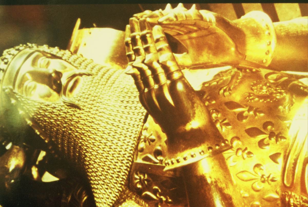
We know that the route was in active use in the 13th century, as the Black Princes' Register contains reference to the maintaining of the bridges at Hockenhull. In fact the Prince ruled the County of Chester until 1355, and it is recorded that he paid twenty shillings for the upkeep of the bridges in that year; "a grant of 20 shillings for the repair of the bridge of Hokenhull" The Black Prince as Prince of Wales & Earl of Chester had good reason to keep the road in good repair, as he would travel along the highway from London to Chester often in a great hurry, to obtain money and men from the rich landowners of Cheshire to enable him to fight battles overseas. The Battle of Crecy was one such battle in 1346.
-

The Black Prince

Nearly two hundred years later a further reference to a bridge at Hockenhull appears in the will of one Ralph Rogers, a citizen of Chester who in 1539 made testamentary provision of 10 shillings for its repair.
William Webb in his perambulations of Cheshire in 1620, writes in his book "The Vale Royal of England" of a passage over the Gowy as part of "our great London roadway to Chester, wanting nothing but a bridge for carts to passe that way when the river riseth, which were a very necessary and charitable work to be done."
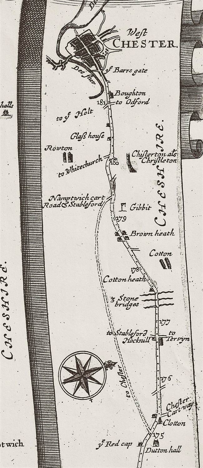
Whether the construction of such a bridge for carts was ever contemplated is unknown, but 55 years later they are clearly shown as three stone bridges on John Ogilby's map and are only wide enough for use by the pack horse trade or by travellers on horseback. Ogliby's "Britannia Road Book" was produced in 1675, and the section from Nantwich to Chester is particularly interesting for local people as it also shows a gibbet at Brown Heath and the Glass House Inn at Christleton.
-

Section of John Ogilby road map from Britannia published in 1675
-

The Old Glass House Inn, Christleton
-

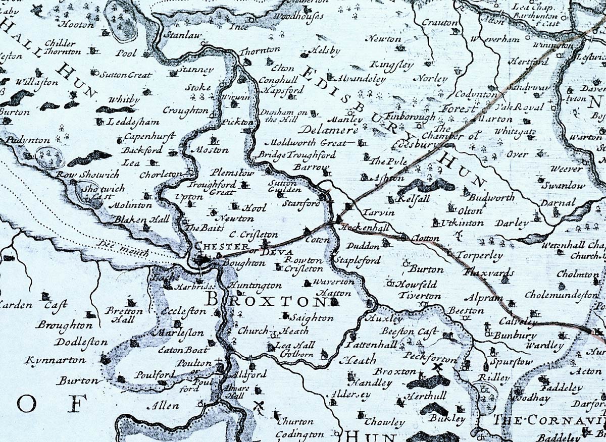
Section of Robert Morden's map of Cheshire from Camden's Britannia 1695
There are several references to the importance of the bridges as part of the routeway to Chester at the time when Edward 1st was building his castles in Wales, and between 1642 and 1645 during the time of the uprising of the Civil War. Tarvin Church just up the lane was the main garrison of the Parliamentarian soldiers commanded by Sir William Brereton. He also had his forward headquarters at the Old Hall in Christleton, and with his troops having an excellent look out position over the city of Chester from the top of the Church tower, he was well placed to attack Royalist troops leaving the city. It is certain that at this time the bridges were the main route of communication for Brereton's troops.
-

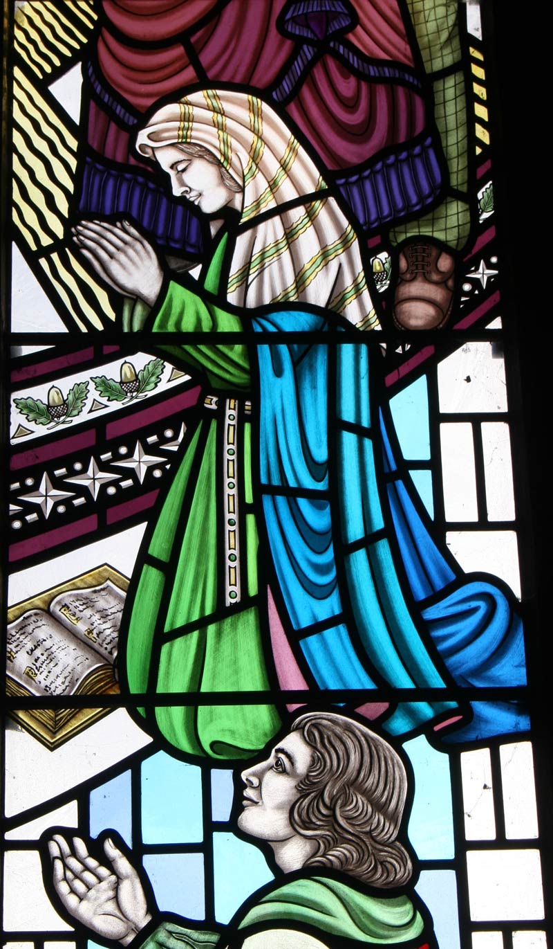
Celia Fiennes
It's also told locally that the servant from the nearby Hockenhull Hall, a lady called Grace Trigg haunts the bridges after being beheaded in trying to save the family silver from being melted down into coin to pay the parliamentarian soldiers. This act is commemorated by the naming of the nearby public house in Duddon as "The Headless Woman" The Hockenhull family were involved in shipping and had their wooden ships tying up near their port house at Shotwick on inner estuary of the River Dee. The packhorse route from the bridges through to Christleton and then the Port of Chester would have been their most direct route.
The area around the bridges are clearly described by Celia Fiennes the "Lady on the White Horse from Banbury Cross" in 1685, who was in effect one of the first travel writers to move around the countryside and she writes in her journal:
" I went 3 miles on a caussey through much wood; it’s from Nantwich to Chester Town 14 long miles the wayes being deep; its much on enclosures and I passed by severall large pooles of waters but what I wondered at was that tho this shire is remarkable for a great deale of greate Cheeses and Dairys, I did not see more than 20 or 30 cowes in a troope feeding, but on enquiry find the custome of the country is to joyn their milking together of a whole village, and so make their greate cheeses, and so it goes round."
There is also some evidence to suggest that this early highway was once turnpiked. For example a Cotton Gate is clearly printed on a number of early maps, situated on the bend to Cotton Hall, and it’s suggested that it was part of a turnpiked route from Chester to Duddon Smithy in 1743. However in 1769 the Chester Tarvin Turnpike Trust built a new turnpike road from Tarvin to Chester along the line of the old Roman Road (now Tarvin Road) through Vicars Cross and then into Chester, so avoiding the packhorse route through Hockenhull. The main reason for this it's said, is that the Turnpike Trust could not persuade the Grosvenor Family to part with their land at Hockenhull to widen both the bridges and the carriageway to take coaches and carts, and the decline of the route was inevitable. However in 1780 another famous traveller on horseback Thomas Pennant writes "about taking the horse road across Brownheath by Hockenhull."
P P Burdett's map of 1777 shows the new road structure with the Tarvin -Chester and Chester -Whitchurch turnpike roads clearly dominating the scene, but with the Hockenhull route still usable.
Although many local parish boundaries in the area are marked by lines of oak trees, the finest avenue is that from Hockenhull to Christleton. These fine oaks still dominate the skyline, and are homes for many bird and insect species including little owls. Today the former packhorse route is most likely to be used by walkers, cyclists and horse-riders, and Hockenhull Platts itself is a peaceful place likely to reverberate only to the sounds of birds singing, and the rush of the River Gowy as it passes through the middle bridge on its meandering course to the River Mersey and the Irish Sea.
Note: The Headless Woman has now closed and houses built on the site.

